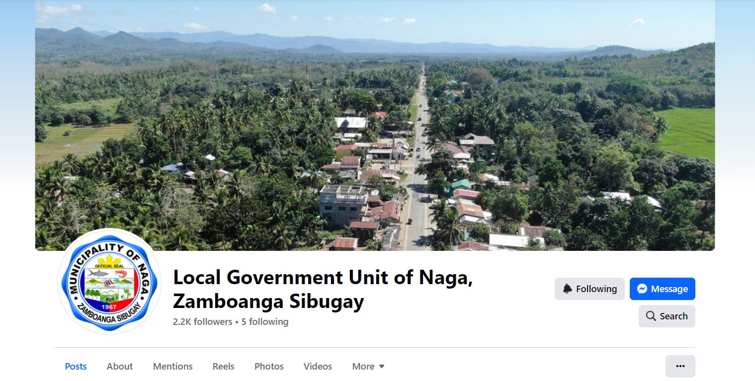
Municipality of Naga has an approximate total land area of twenty- four thousand six hundred thirty (24,630) hectares, of this 99.56% (24,527.013 hectares) considered as rural and the remaining 0.44% (108.2987 hectares being classified as urban, comprises the barangay Poblacion. It occupies 6.827% of the total land area of Zamboanga Sibugay (360,775 hectares). The 24,630 hectares was distributed among its twenty-three barangays. This total number of hectares is based on the record of the Land Evaluation Party, Forestry Management Services, Department of Environment and Natural Resources, Regional Office IX, Zamboanga City. The twenty-three (23) barangays within the jurisdiction of the municipality with their corresponding land area reflected as follows:
| NAME OF BARANGAY | LAND AREA (hectares) |
| Poblacion | 108.2987 |
| Aguinaldo | 171.1924 |
| Baga | 574.8518 |
| Baluno | 581.4204 |
| Bangkaw-bangkaw | 297.3406 |
| Cabong | 148.0533 |
| Crossing Sta. Clara | 562.6828 |
| Gubawang | 146.7301 |
| Guintoloan | 466.7490 |
| Kaliantana | 85.6743 |
| La Paz | 437.4864 |
| Lower Sulitan | 462.8846 |
| Mamagon | 763.2023 |
| Marsolo | 3,430.8831 |
| San Isidro | 654.8704 |
| Sta. Clara | 4,805.2783 |
| Sulo | 1,677.8473 |
| Sandayong | 2,122.7968 |
| Tambanan | 4,465.4943 |
| Taytay Manubo | 17.7748 |
| Tipan | 1,516.2087 |
| Tilubog | 572.2300 |
| Upper Sulitan | 560.0496 |
| TOTAL | 24,630.00 hectares |
| GENERAL CLASSIFICATION OF LAND USES | ||
| Land Uses | Hectares | Percentages |
| Agricultural Area | 12.08 | 49.03 |
| Forest Area | 3,225.00 | 13.10 |
| Mangrove and swamp area | 3,600.00 | 14.62 |
| Alienable/Disposable | 69.00 | 0.28 |
| Residential/Built-up areas | 5,000.00 | 20.30 |
| Tourism | 10.00 | 0.04 |
| Commercial | 30.00 | 0.12 |
| Institutional | 55.00 | 0.22 |
| Industrial | 45.00 | 0.18 |
| Infrastructure | 500.00 | 2.03 |
| Open Space Strip | 20.00 | 0.08 |
| Total | 24,630.00 | 100 % |
| Urban Land Use | Hectares |
| Commercial | 10.717 |
| Institutional | 8.000 |
| Residential | 50.455 |
| Open Space | 6.640 |
| Roads | 6.605 |
| Agricultural | 25.882 |
| Total | 108.299 |


